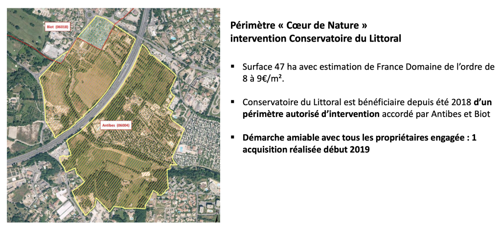
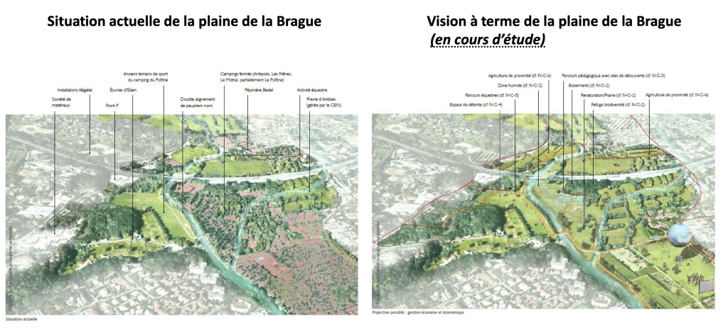
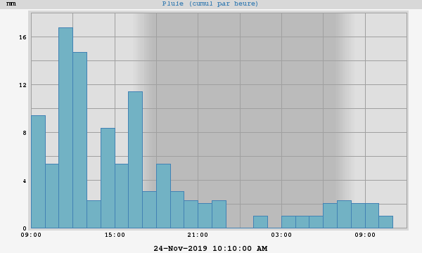
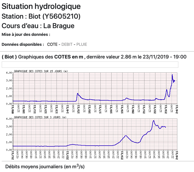
En quelques étapes …
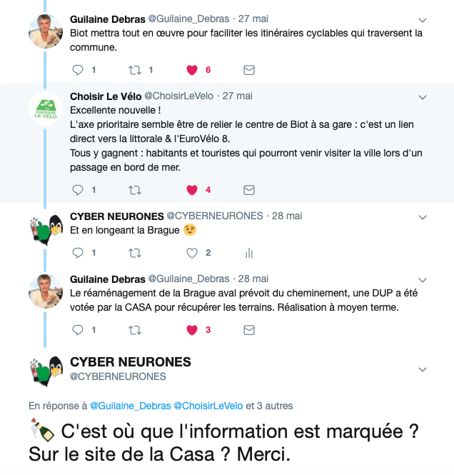
Etape 1: Voir un tweet passer de :
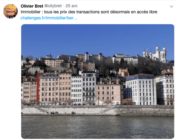
Etape 2 : Vérifier l’information sur : le lien étant : https://www.data.gouv.fr/fr/datasets/demandes-de-valeurs-foncieres/
Et se faire un profil :
Etape 3 : Voir du JSON : Micro-API DVF (Demande de Valeurs Foncières) et une API :
Voir même le résultat en fonction de la commune ou du code postal :
- http://api.cquest.org/dvf?code_commune=94068 ( code_commune = code INSEE de la commune (ex: 94068) )
- http://api.cquest.org/dvf?code_postal=89110 ( code_postal = code postal )
Superbe travail de Christian Quest ( sur Twitter @cq94 ) avec en plus la mise du code sur GitHub : https://github.com/cquest/dvf_as_api .( )
Etape 4 : Sortir le python ( ) et se faire une petite carte sur Biot :
$ python3 API_DVF_ToStaticMapColor.py
Number total of request 1
Number total of pin 2598 Before date 624 After date 1974
Et publier les sources ( https://github.com/CYBERNEURONES/Python ) : les conditions d’utilisations : http://data.cquest.org/dgfip_dvf/conditions-generales-dutilisation.pdf.
#
# for Python 3
#
#   ARIAS Frederic
#   Sorry ... It's difficult for me the python :)
#

from time import gmtime, strftime
import time
import json
import requests
from datetime import *
from staticmap import StaticMap, CircleMarker

m = StaticMap(1100, 1100, url_template='http://a.tile.osm.org/{z}/{x}/{y}.png')

codepostal = "06410"
date_inondation = datetime.strptime("2015-10-03",'%Y-%m-%d')
nb_request = 0
nb_plot = 0
after_inondation = 0
before_inondation = 0
headers = {'Content-type': 'application/json', 'Accept': 'text/plain'}
url_notes = (
    "http://api.cquest.org/dvf?"
    "code_postal="+codepostal
)
try:
    resp = requests.get(url_notes, headers=headers)
    nb_request += 1
    resp.raise_for_status()
    resp_dict = resp.json()
    #print(resp_dict);
    for my_resource in resp_dict['resultats']:
        #print(my_resource)
        long = my_resource.get('lon')
        lat = my_resource.get('lat')
        my_date = datetime.strptime(my_resource.get('date_mutation'),'%Y-%m-%d')
        if (long) and (lat):
           nb_plot += 1
           #print("Long:",float(long),"Lat:",float(lat),"Date:",my_date);
           if my_date > date_inondation :
             marker = CircleMarker((float(long), float(lat)), '#0036FF', 8)
             after_inondation += 1
           else :
             marker = CircleMarker((float(long), float(lat)), '#FF3600', 8)
             before_inondation += 1
           m.add_marker(marker)
except requests.exceptions.HTTPError as e:
    print("Bad HTTP status code:", e)
except requests.exceptions.RequestException as e:
    print("Network error:", e)

image = m.render(zoom=13)
image.save('mymap_zoom13_col.png')
image = m.render(zoom=14)
image.save('mymap_zoom14_col.png')
image = m.render(zoom=15)
image.save('mymap_zoom15_col.png')

print ("Number total of request",nb_request)
print ("Number total of pin",nb_plot,"Before date",before_inondation,"After date",after_inondation)
Etape n°5 : Voir le résultat :
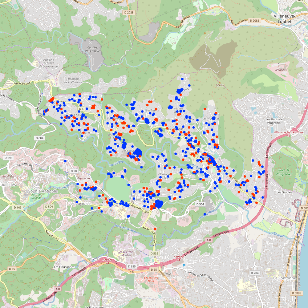
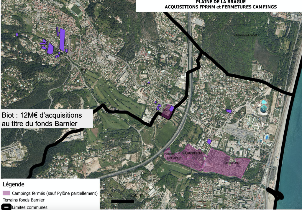
A la base je voulais localiser les achats du Fond Barnier, mais je n’ai rien trouvé … sniff.
J’ai aussi fait un programme ( https://github.com/CYBERNEURONES/Python/blob/master/API_DVF_ToStaticMapColor_V2.py ) pour travailler avec le code insee …. mais pas mieux :
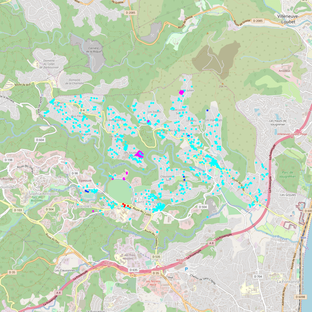
Toutes les données
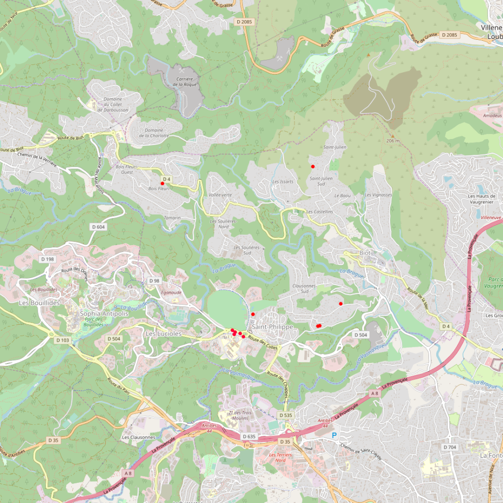
Expropriation, Adjudication.
A suivre …
J’aime ça :
J’aime chargement…

