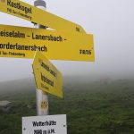
Randonnée pas terrible car trop de route sur le retour. Donc je ne vais pas m’étendre dessus.
Le parcours :
Total distance: 17027 m
Max elevation: 2239 m
Min elevation: 1267 m
Total climbing: 1089 m
Total descent: -1078 m
Average speed: 4.14 km/h
Total time: 05:07:25
Download file: Geiselalm-2.gpx
Max elevation: 2239 m
Min elevation: 1267 m
Total climbing: 1089 m
Total descent: -1078 m
Average speed: 4.14 km/h
Total time: 05:07:25
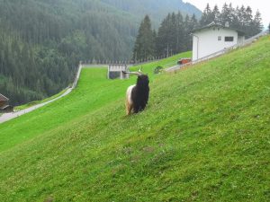
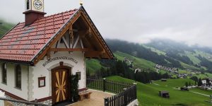
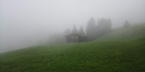
Quelques photos :
- oznor
- cof
- cof
- cof
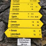
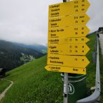
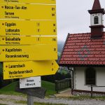
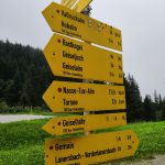
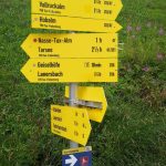
Quelques panneaux :
- smacap_Bright
- smacap_Bright
- cof
- smacap_Bright
- cof
- cof

