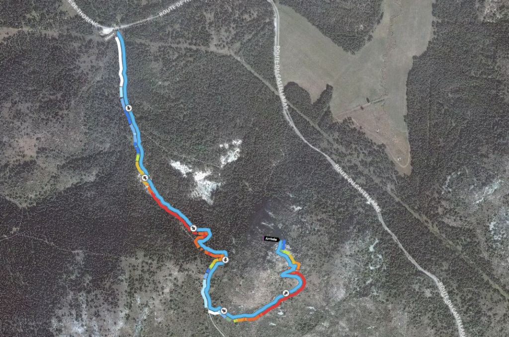
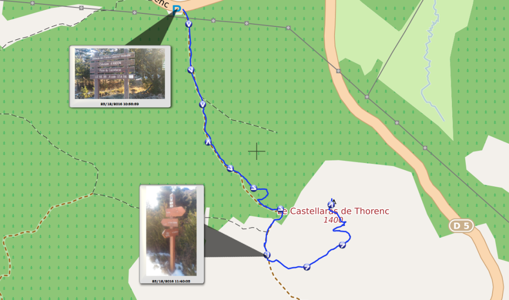
Le parcours : il fait 2 km aller, soit 4 km aller-retour.
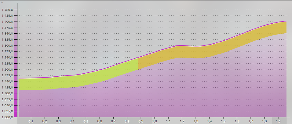
Le dénivelé : 240 m .
Le parcours interactif :
Total distance: 2046 m
Max elevation: 1405 m
Min elevation: 1163 m
Total climbing: 260 m
Total descent: -18 m
Average speed: 2.98 km/h
Total time: 01:01:26
Download file: Thorenc.gpx
Max elevation: 1405 m
Min elevation: 1163 m
Total climbing: 260 m
Total descent: -18 m
Average speed: 2.98 km/h
Total time: 01:01:26
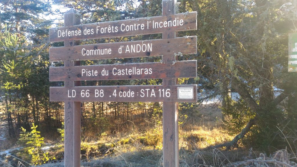
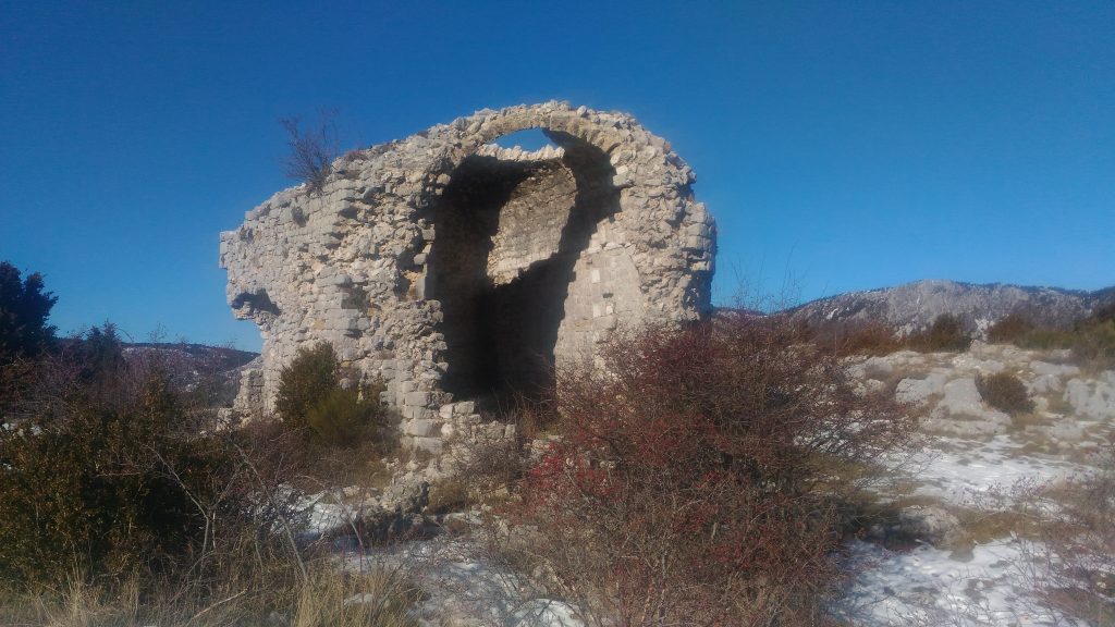
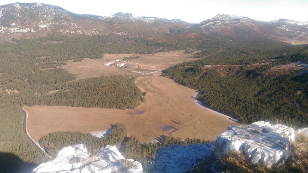
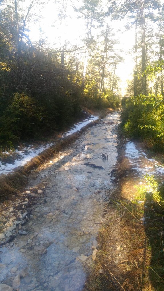
Quelques photos :

